

After searching Figueroa for wildflowers, John Wiley flew along Hwy. 166 toward Cuyama and found plenty.
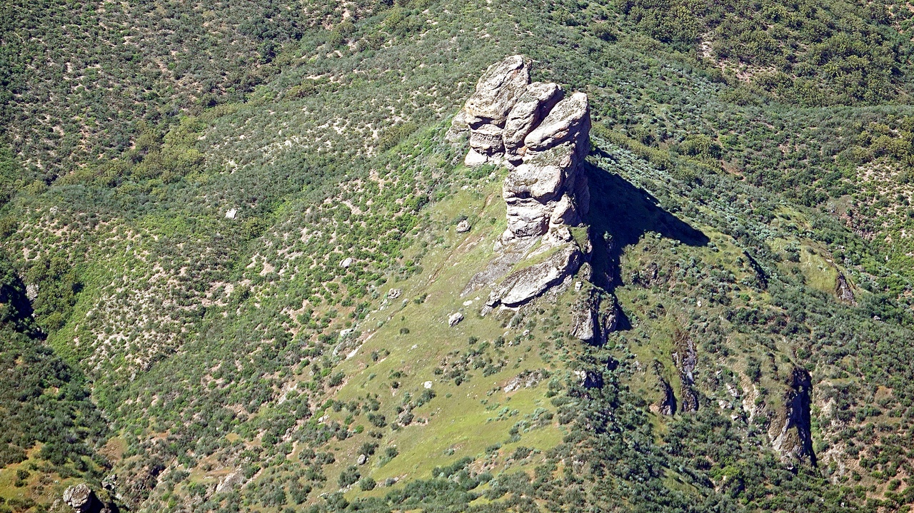
The journey was scenic, with water in Twitchell and then a glimpse of these “Gorilla Rocks” (anyone know the name?) at about 35.112,-120.122 on gMaps. I don’t think you can see them from 166, but maybe there’s an accessible spot to see them?
Entering the valley we were surprised to see a few bright patches of almost iridescent yellow flowers off to the right side of 166. As we continued we saw more and larger patches, sometimes intermingled with orange and shades of other colors. Soon even some sprinklings of purple, hinting at lupine.
Then an occasional dense patch of purple.
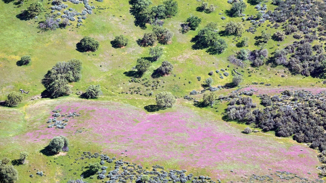
Soon there were more such patches and some like the first pic above, with what looked like several different flower varieties in vast patches. That one is about 4-1/2 miles from New Cuyama, across from the CalTrans yard. Next to the airport looking across Perkins Rd. we paused on a stroll into town to snap the subtle colors. Spring touched the bare branches of the small tree with tender sunlit green leaves.
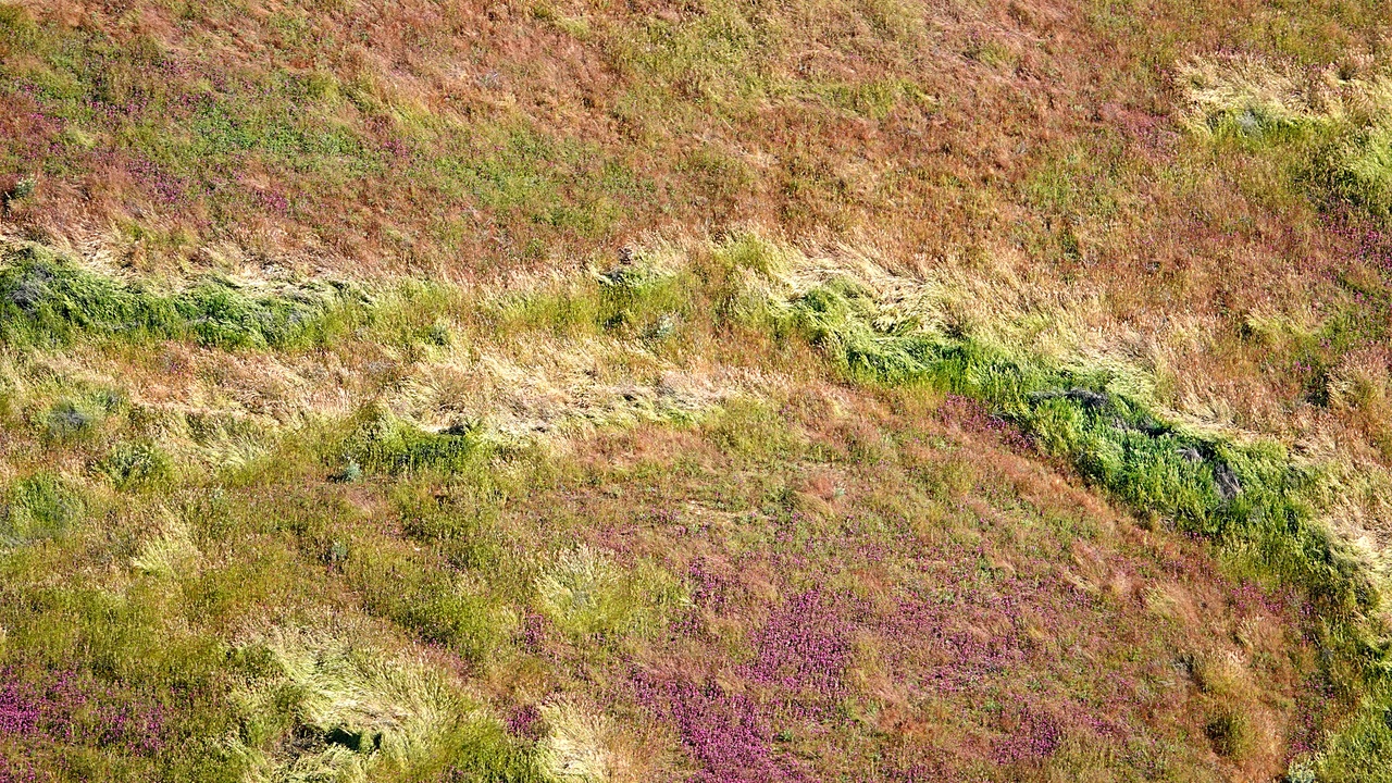
Taking back to the air later, we loved the colors and textures of purple accents in the tall grass just North of the airport. You could see it off to the left of Perkins Rd. There we enjoyed viewing some large areas of dense purple, but hadn’t walked closer to see if it’s indeed lupine.
We’ve flown to New Cuyama when the whole valley is thick with wildflowers and lots of people exploring them. Maybe this is just the start of a spectacular superbloom? It’s about half an hour’s flight or less to New Cuyama in a small plane from SBA, and under two hours by car. As you probably guessed, I’ve taken the “air” out of these pix to accentuate and better show the colors we enjoyed rather than what the more UV sensitive camera “saw” from a distance.


Wow so cool! Thanks for posting those awesome photos 🙂
Thanks Ando. 🙂
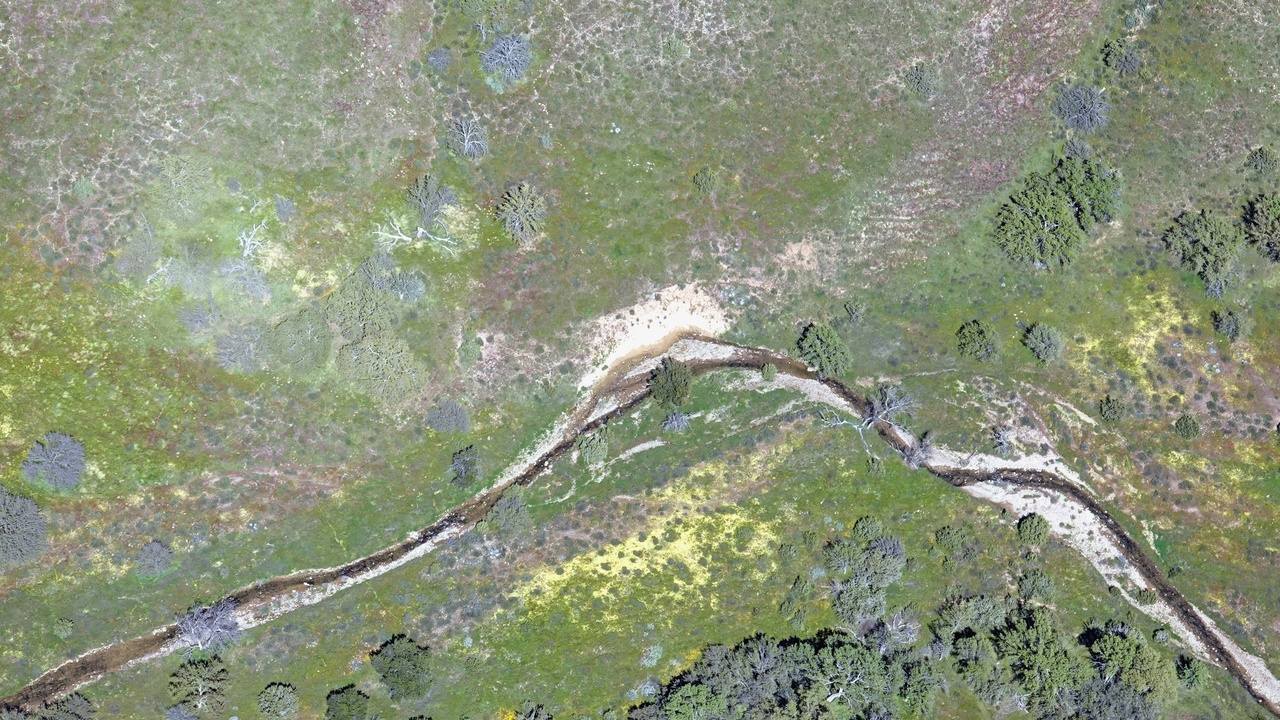
I hope someone who lives in Cuyama Valley, commutes through there, or goes looking for wildflowers will send Ed some pix at ground level. That first aerial pic in this set we sent Ed has contrast and saturation pumped up to remove haze and accentuate the much more subtle color variations we saw from the air. So we’re curious how it looks from the ground, and especially close up if there’s access. That spot had the most color variation, so my guess is it’s from a fairly wide variety of plants. I’m curious how it’s looking over in California Valley. We got a distant glimpse of water in Soda Lake, so wildflowers are probably awakening in that valley too.
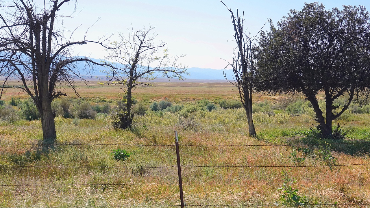
Thanks! Surprisingly few flowers. With gas at mo re thane $5/gallon, this wingless flower-lover appreciates and will stay at home.
I hear ya, Bird. 🙂 Sometimes the time and expense of going to see something just doesn’t seem worth it. I wonder what it is that makes it irresistible other times. I’m also curious whether the bloom is getting more intense or already fading. Our friend Nancy reported a bright yellow bloom at the Gaviota 101 curve. Maybe there’s something special about chancing upon a colorful surprise on a familiar path.
Thanks, John! We are so lucky to have you flying and snapping and sharing! I am wondering whether maybe the large amount of rain last year has produced a bumper crop of grass so that whatever flowers were also seeded and encouraged are swamped, so to speak – “dwarfed” would be better – by the grass. I am finding a lot of backyard grass in my small plot.
Interesting idea about the tall grasses. I was curious about that in the last pic of purple amid the tall grasses. Such a strange year in terms of timing and amount of sporadic intense rainfall so late into the season. Maybe someone with extensive understanding of “super bloom” factors will weigh in on what we might see in various areas. My uninformed impression is that even the top experts find it very challenging to predict even with all available data. The Fig.Mtn. ranger seems very well informed and especially experienced on that area. Is my sense correct the ranger sees high probability for more bloom to come there this season?
Gorilla = Twin. I’d forgotten having snapped the fascinating feature a mile North of Hwy.166 during a flight way back in February of 2012 (and then researched somewhat), that to me looked (still does) vaguely like a gorilla. The feature’s common name on hiking & off-road websites is Twin Rocks. Not an apt name imo, since there are four distinct columns (all w/family resemblance). But maybe Quadruplet Rocks is less catchy? Bottom line: the southernmost rock is clearly visible from at least two stretches of 166, starting about 23.3 miles from 101. There’s also apparently a culvert at Postmile (mile marker) 3317 where there’s a turnoff from 166. That culvert (named Wild Cow!) apparently has a traveled gravel road on both sides of 166 in gMaps sat view, and there’s a gravel road up to the rocks visible from that 166 mile marker in gMaps Street View. Maybe it’s time for a drive to Santa Maria adding excursion to 166 mile 33.17 and on to Cuyama, returning via 33 thru Ojai?