Edhat readers share photos of the storm impacts from the past few days throughout Santa Barbara County. More photos and videos are available on Edhat’s Twitter Page. Send your photos to share at info@edhat.com.
By Brian McMurray
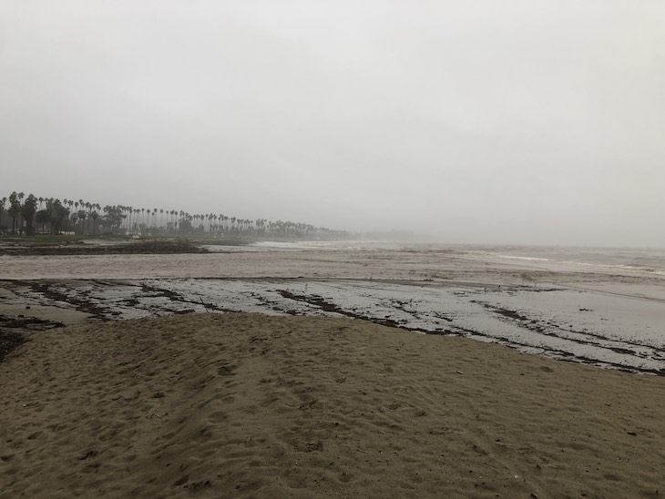
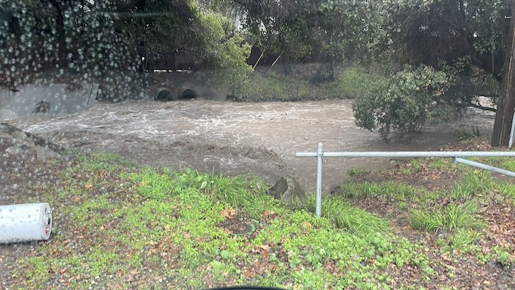
Arroyo Burro and Mission Creek on Monday.
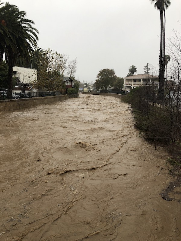
Mission Creek at Mason Street
Arroyo Burro
Arroyo Burro outflow
Mission Creek outflow
By Loren McFarland
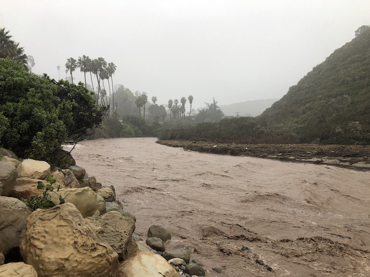
Photos of local creeks.

Bike path is not passable under 101 at the confluence of San Antonio and Marie Ignacio Creek.

Marie Ignacio Creek on Left and San Antonio on the right directly under the Northbound 101 between Turnpike and Patterson.
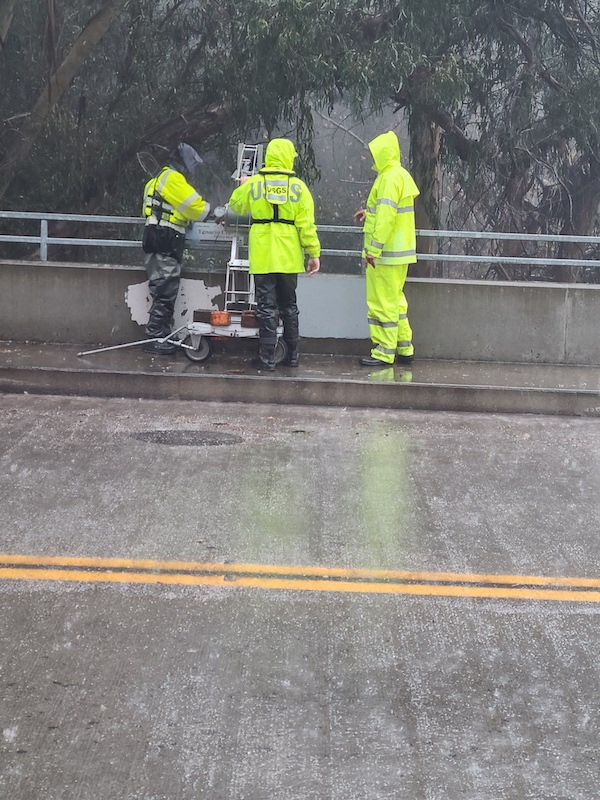
USGS personnel measure the speed of flow on Marie Ignacio Creek on University Avenue. 1160 Cubic feet per second or about 8,700 gallons per second.
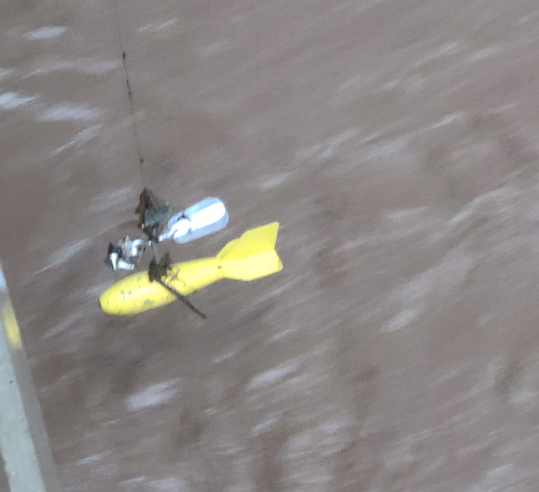
Here is the torpedo device used to measure water speed.

Marie Ygnacio Creek at University avenue.
By Max Rosenberg
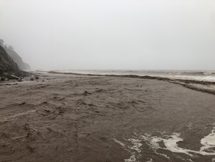
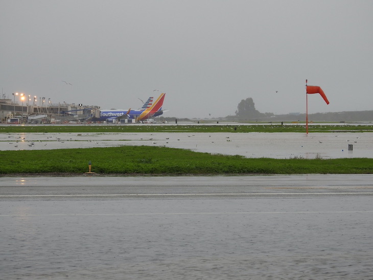
Flooded and closed airport in Santa Barbara.


By The Sandbox
By ScannerAndrew
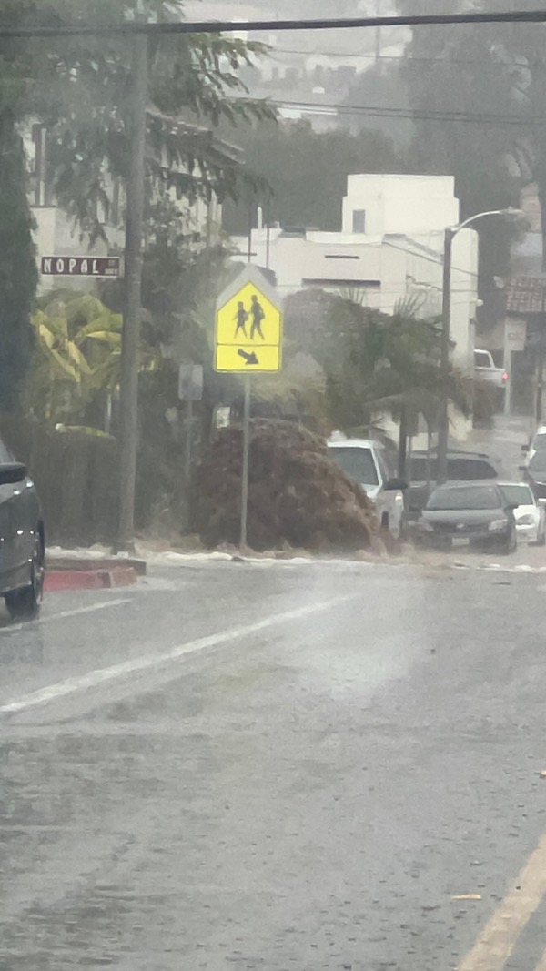
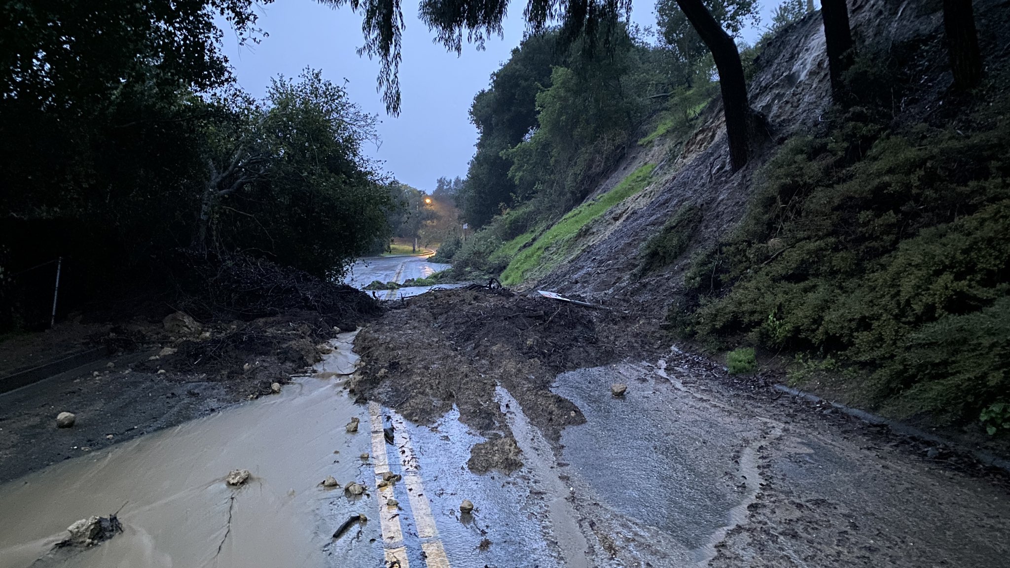 Miramonte Drive near Carrillo
By Scott Safechuck, Santa Barbara County Fire Department Public Information Officer
If you do not have to drive, don’t! Please see SBC channel 20 for important info. See http://ReadySBC.org for emergency alerts, shelter in place/evacuation orders, info line, interactive map, and shelters. The rain is not over! Pay attention to alerts and social media.

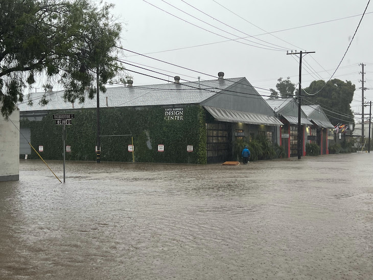
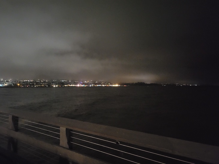
By Matt
Downtown on a Monday evening.


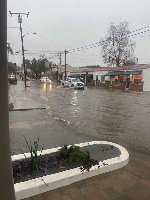
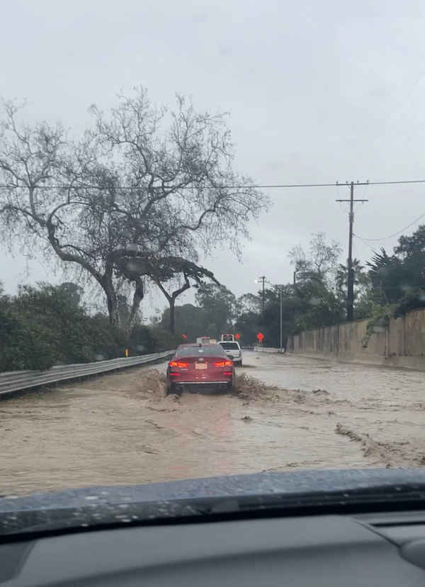
By Kelly C.
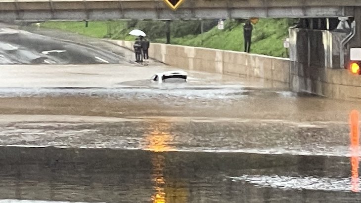
Flooding on De La Vina at Mission St!
And some flooding across the 101 at just before 4:00 yesterday- yikes!
By Janett E.