

The Alamo Fire is 20% contained at 28,926 acres and the Whittier Fire is 25% contained at 10,823 acres, as of Tuesday morning, July 11.
The below map shows the distance and location of the two fires within Santa Barbara County
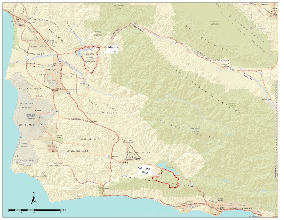
Click here to see a larger version of the map
(Map provided by Santa Barbara County)
Comments
0 Comments deleted by Administrator